Consulting & wildfire resilience
Independent forest planning, hands-on implementation, and community wildfire resilience — built around your land's needs.
Wildland fire risk assessment
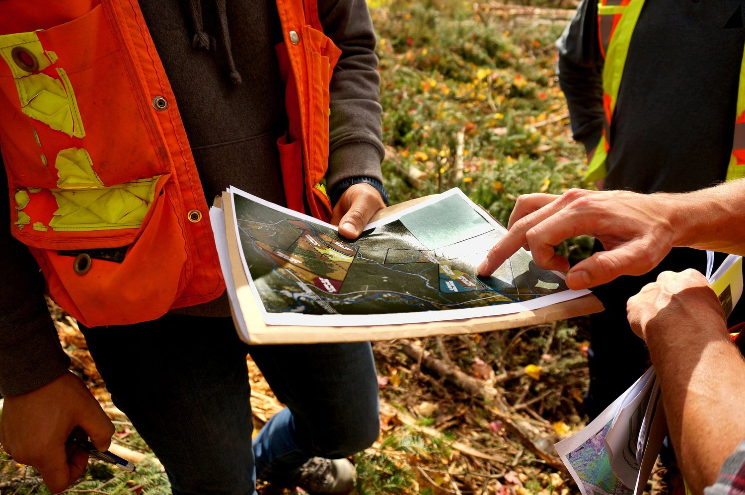
ACFOR is a New Brunswick-based, full-service provider specializing in community wildfire resiliency planning and implementation. We support Regional Service Commissions and municipalities through the full project lifecycle — from applications, through risk assessment, to actionable mitigation planning and on-the-ground fuel treatment design.
Start a project
Reach out for assistance with a Community Wildfire Resiliency Plan, Mitigation Plan, recommendation follow-up, or treatment implementation.
Get in touchHow we support your community
Risk assessment & mapping
We build the risk picture in-house, grounded in established assessment frameworks.
- All spatial analysis, mapping, and data products developed internally
- Frameworks integrating fuels, proximity to values, and fire behaviour
- Local conditions weighed to prioritize where action matters most
Resiliency & mitigation planning
We turn assessment into practical, defensible plans communities can act on.
- Community Wildfire Resiliency and Mitigation Plans
- Policy investigation and funding-application support
- Clear next steps with easy-to-access follow-up
Implementation & local delivery
We see plans through to on-the-ground fuel treatment, close to home.
- Fuel-treatment design and implementation support
- Based in New Brunswick, with direct Maritimes project experience
- End-to-end service — all under one roof
What guides our work
Forests worth keeping
Reducing wildfire risk doesn't mean eliminating our forests — or our connection with them.
FireSmart™ trained
Our team has undertaken FireSmart™ training, bringing recognized wildfire mitigation practices to every assessment.
Open to collaboration
We're eager to collaborate with regional, academic, and governmental partners to build wildfire resilience.
ACFOR understands that climate and wildfire resiliency require both technical rigour and local knowledge. Our approach combines public consultation and spatial analysis with practical implementation strategies to help communities reduce risk and improve resilience.
Ecological restoration
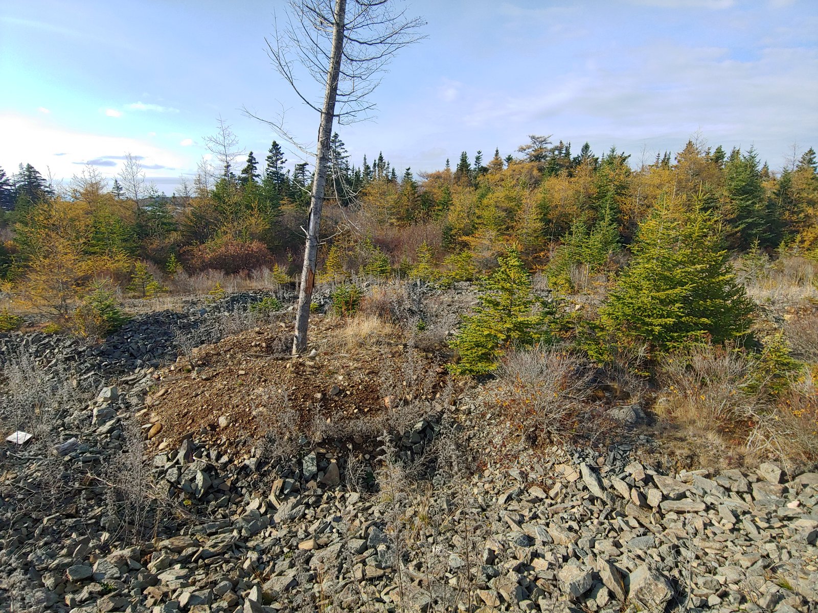
The Maritimes has a long history of human development and, with changes in objectives, human-degraded sites are in need of restoration to a greater ecological capacity. Events that are natural in origin, including blowdown events, may also benefit from some form of intervention to accelerate a return to a better-functioning ecosystem.
Experience
- Gravel pit reforestation
- Plantation successional redirection
- Road decommissioning
- Post-disturbance forest interventions
In-house GIS & spatial analysis
Geographic Information Systems are integral to so many disciplines — from forestry, to watershed modelling, to navigating to the closest cup of coffee. Using GIS is a necessity that often happens before we even entertain the idea of a site visit, helping us gather insights that would otherwise be very difficult to obtain.
GIS costs can be incredibly high and licensing is often confusing, but ACFOR makes sharing and storage simple and painless. We've had the honour of helping municipalities, ENGOs, industry, academia, and landowners answer questions about the natural environment and communicate effectively with spatial data.
Our flagship Treatment Allocation Model manages for many values and prioritizes sites based on client objectives — from harvesting interventions to watershed risk management. If you're asking how your time and money is best spent, we can tell you where, and provide the why.
Experience
- Erosion susceptibility studies
- Wildfire hazard and burn probability analyses
- High Value Conservation Forest identification
- Woodbasket supply modelling for industry
- Road access and development feasibility studies
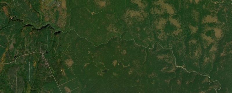
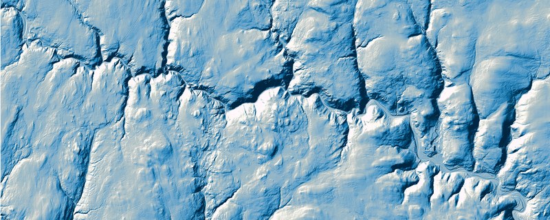
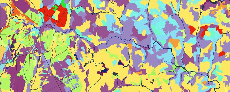
Wildland fire risk assessment platform
Parcel-level fire risk mapping for Atlantic municipalities, built on the same ecological expertise behind our forest management work.
Our fire mapping platform will give Atlantic municipalities, emergency managers, and residents a clear picture of wildland fire risk at the property level — vegetation and fuel maps, all on one platform.
Individual property risk scores derived from vegetation type, topography, proximity to wildland interface, and historical fire data.
Vegetation and fuel load mapping derived from satellite and LiDAR data, updated seasonally.
For your municipality
Municipalities that partner with ACFOR can embed a branded version of the webmap directly in their own website, keeping residents on the municipal domain while ACFOR handles hosting and updates.
What can ACFOR do for you?
Explore ACFOR's bespoke ecological solutions, where sustainability meets efficiency.
Get in Contact